Geographic and Strategic Location
WEATHERABOUT

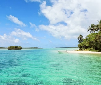
Timor-Leste occupies a strategically significant position in Southeast Asia, comprising the eastern half of the island of Timor, the nearby islands of Atauro and Jaco, and the Oecusse exclave on the northwestern side of the island. The country is bounded by the Timor Sea to the southeast, the Wetar Strait to the north, and the Ombai Strait to the northwest, positioning it as a natural gateway between the Indonesian archipelago and Australia.
The geography of Timor-Leste is predominantly mountainous, with rugged peaks running the length of the island, creating a dramatic landscape that influences both climate patterns and economic activities. The country experiences a hot tropical climate characterised by distinct wet (December-April) and dry (May-November) seasons, with coastal temperatures typically ranging between 25-35°C. This climate supports diverse ecosystems including coral reefs, tropical forests, and a rich variety of flora and fauna that contribute to the country's tourism potential.

